
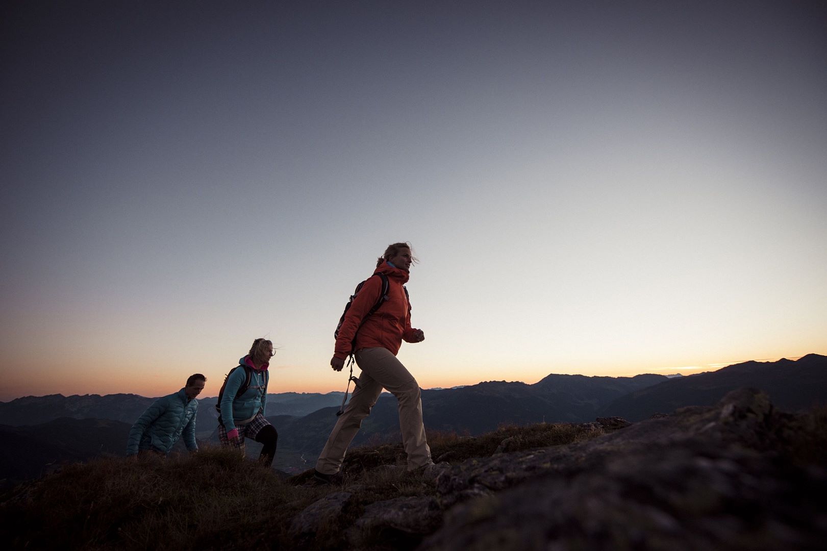
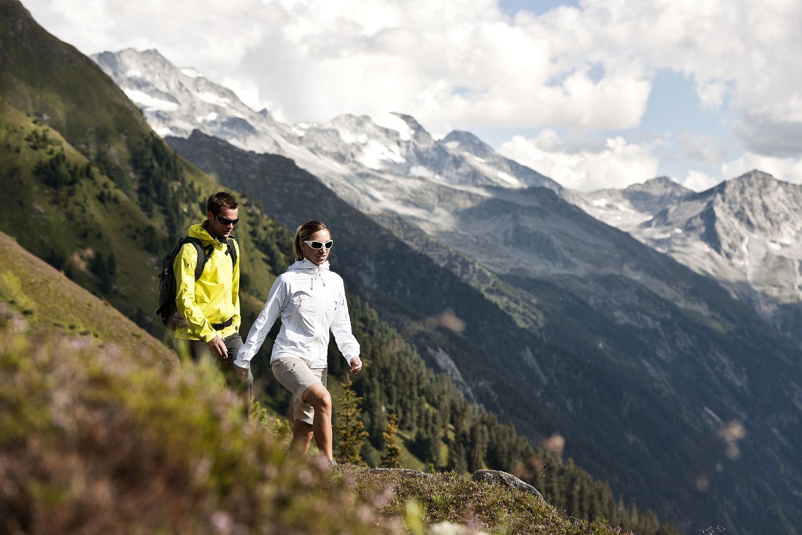
Summer in the mountains
Hiking in the Zillertal
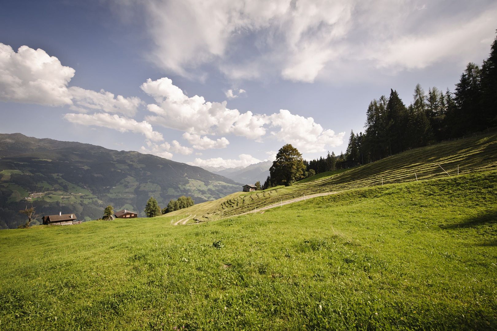
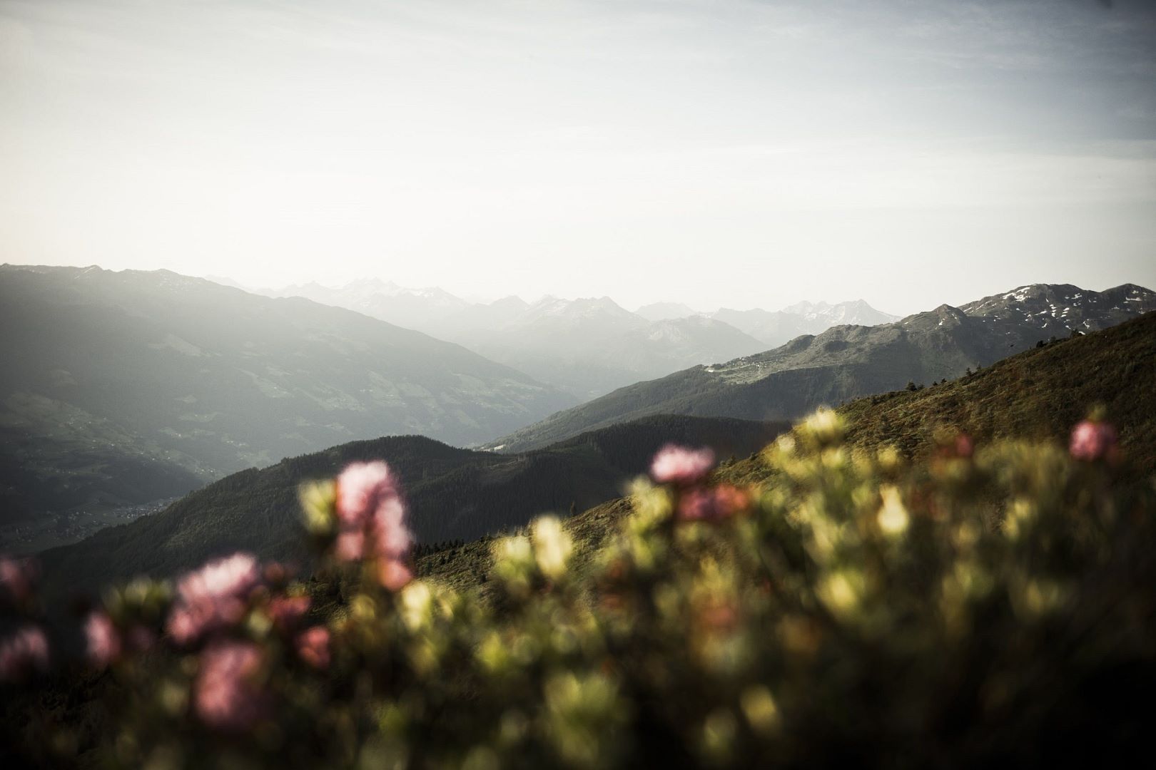
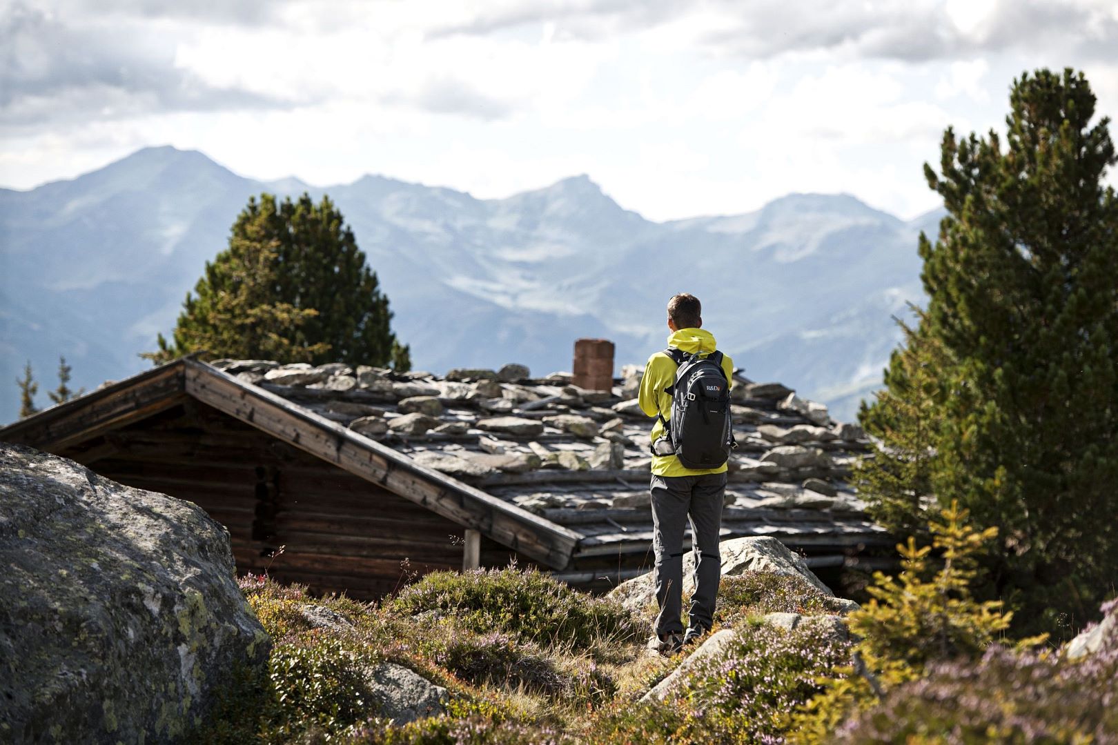
Leave the daily stress behind you and relax in the wonderful natural landscape of the Zillertal and Tuxer Alps. The hiking route network covers 1,400 km of optimally signposted trails of all levels of difficulty. Here, everyone will find their favourite route, no matter how high they aim. Be it on the sunny valley floor or the craggy, isolated peaks of the numerous mountains topping 3,000 m. Direct access to the fascinating Alpine world is made possible by more than ten summer lifts and the Zillertal alpine and scenic roads.
Hiking tips
- Stumm - Jägerklause: difficulty: medium; walking time : 1:15 h; distance: 2.8 km; elevation gain: 155 m - Start is at the Stumm town hall, walk on the road until you get to Märzenklamm. The route leads to Antoniuskapelle chapel. From there, continue along the hiking trail to the next crossing, where you turn left and hike across a few switchbacks to Jägerklause. On the last few metres, the route follows the paved road. You can walk back via Mölkenkapelle
- Hochfügen - Schellenberg: difficulty: medium; walking time : 1:30 h; distance: 4.4 km, elevation gain: 165 m - From the parking lot in Hochfügen the hiking trail at first leads downhill for some 2 km along Finsingbach stream. At the crossing in Finsinggrund continue uphill to Hochfügen. The last section of the route leads on the road to Schellenberg. Take the same route for the way back.
- Uderns - Finsinggrund - Hochfügen: difficulty: medium; walking time: 4:00 h; distance: 13.1 km; elevation gain: 955 m - At first walk through the village of Uderns, heading to the parish church. Then go on straight to Kleinboden. After crossing Finsingbach stream, walk uphill to the left and then go to the left in the direction of Kupfnerberg. Continue on the road to Finsinggrund, keep right at the junction and follow the signs through Finsinggrund all the way to Hochfügen. In Hochfügen you can take the bus back or walk back the same way.
- Hart - Schleierwasserfall: difficulty: medium; distance: 2.9 km, elevation gain: 330 m - From Hamberg head to Kölblhof. Here, keep to the right until the road leads to the sports area. Then turn left into the direction of Almdiele. Here, follow the signs for 'Schleierwasserfall'. The way back leads along the same route.